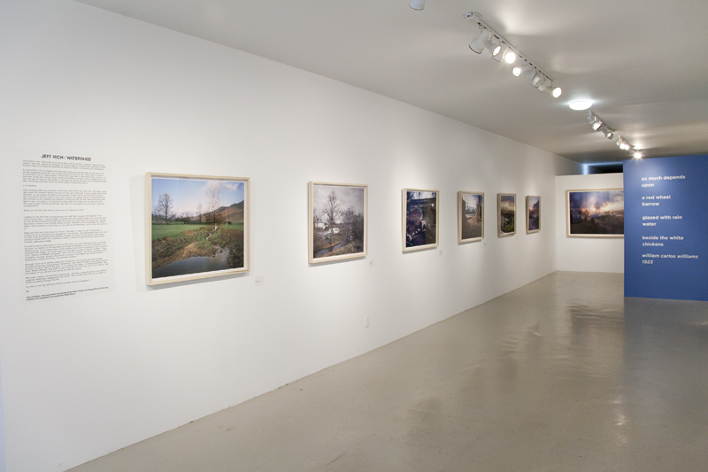
Part I - A Survey of the French Broad River Basin
A common misconception of a watershed is that it's all about the water.
While water does play a large part, the land plays an even larger role by
directing the water to a common point, such as a river or ocean. Thus,
human impact on the land directly affects the water that runs over it. In
Watershed, I intended to highlight this relationship between land, water,
and man within the Mississippi River watershed, the largest watershed
in North America. Every watershed is made up of smaller watersheds or
basins, and the Southern portion of the Mississippi Watershed is made
up of three major river basins, The French Broad River, The Tennessee
River and The Mississippi River. Each of these basins forms a chapter of
the Watershed project.
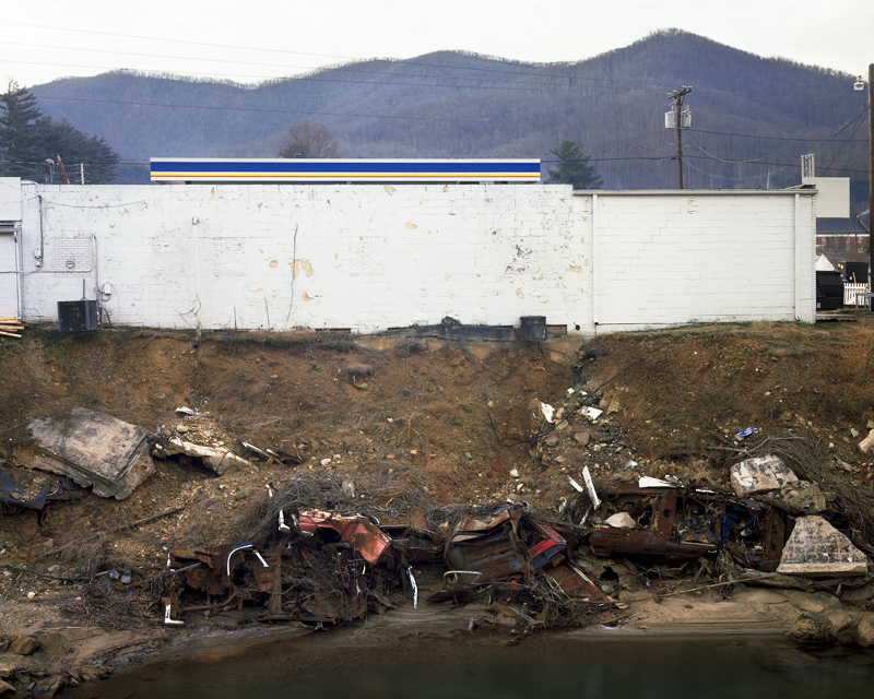
In the 1950s The French Broad River was one of the most polluted in the
country. A local writer Wilma Dykeman described the condition of the
river as having "white scum that caps the water's blackness for mile
after mile." The river was beset with pollution from erosion, which was
caused by deforestation, pollution from heavy industry, and the rapid
development of the cities within the watershed.
The French Broad Watershed has experienced an extraordinary rebirth
over the past 40 years.The passage of the Clean Water act in 1972 put
heavy limits on the pollution that industry is allowed to discharge into
the waters of the United States. As a result, the French Broad became a
much healthier watershed that now supports a thriving local ecology
and provides a recreational resource for the local community. Due to
weak enforcement of the Clean Water Act's mandates and consistent
non-point source pollution, the French Broad River is now becoming
less healthy for the first time since the passage of the Clean Water Act,
which threatens the reversal of such enormous progress.
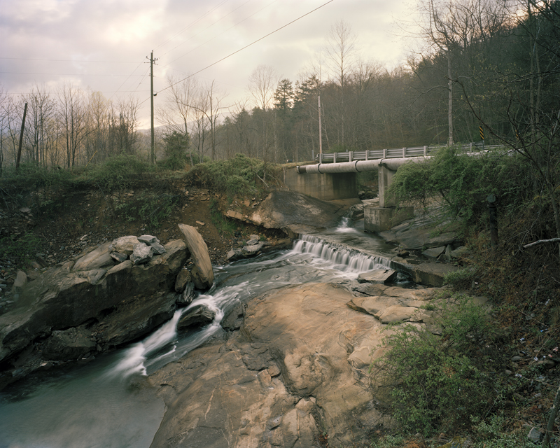
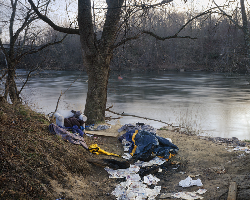
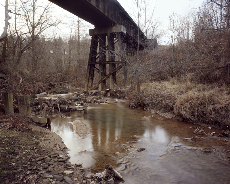
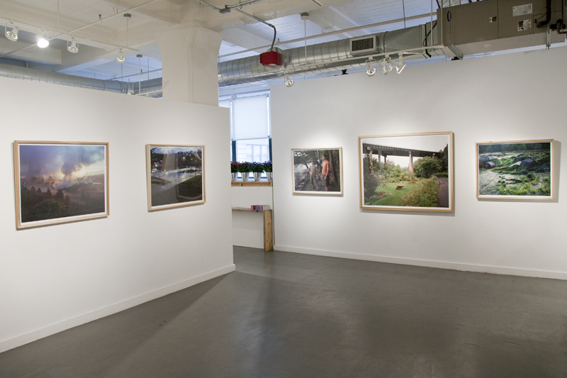
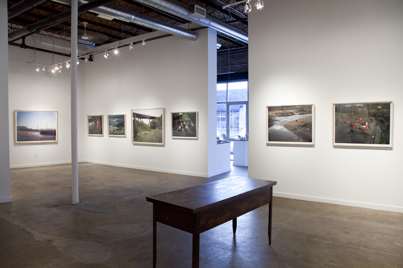
This work shows the constant change that occurs within the watershed
of The French Broad River due to man's presence, as well as natural
causes such as floods and erosion. Beginning at the headwaters of the
French Broad and following the river through Western North Carolina
into Tennessee, where it joins with the Holston River to form the
Tennessee River, this project documents the development and use of
the watershed. By documenting the river itself, the landscape of industry
and homes, and the citizens who use the river and work to protect it, this
project creates a portrait of the many varied aspects that make up a
watershed and ultimately emphasizes the importance of sustainability
movement that is growing in the local community and beyond.
- A book of the French Broad Watershed work is available through Photolucida.


Watershed, United Photo Industries, Brooklyn, New York, 2013

Watershed, Newspace, Portland, Orergon, 2012

Watershed, Jennifer Schwartz Gallery, Atlanta, Georgia, 2012

Watershed, Jennifer Schwartz Gallery, Atlanta, Georgia, 2012
Watershed, Jennifer Schwartz Gallery, Atlanta, Georgia, 2012
Watershed, Pink Dog Creative Gallery, Asheville, North Carolina, 2012
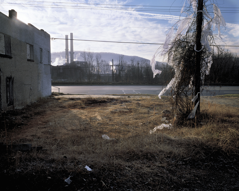
Blue Ridge Paper Mill, Pigeon River, Canton, North Carolina, 2008
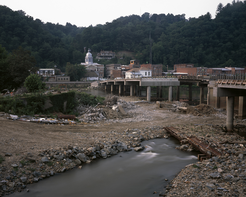
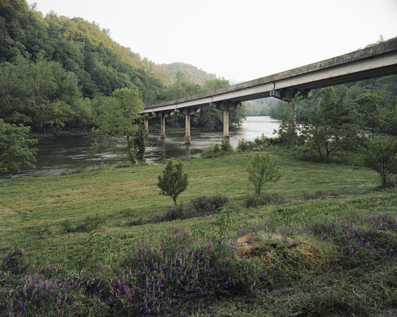
Bridge Reconstruction - The French Broad River, Marshall, North Carolina, 2006
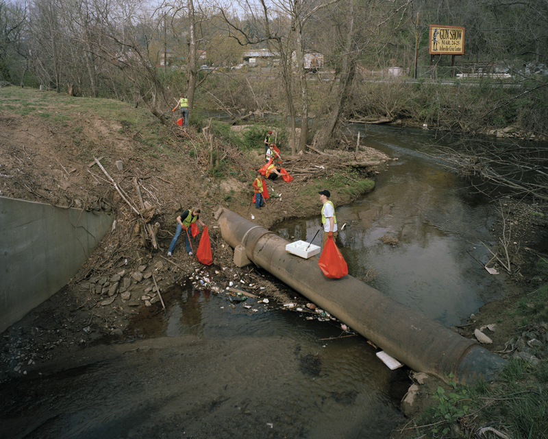
River Clean-up on the Swannanoa River, Asheville, North Carolina, 2007
Headwaters of The French Broad River, Rosman, North Carolina, 2007
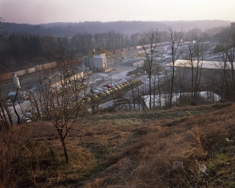
Cement Plant, Asheville, North Carolina, 2006
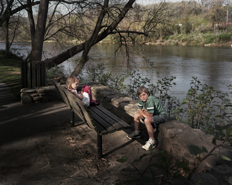
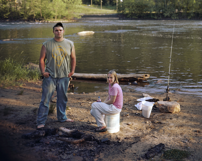
Benjamin and Katie, French Broad River, Asheville, North Carolina, 2008
French Broad River, Walnut, North Carolina, 2007
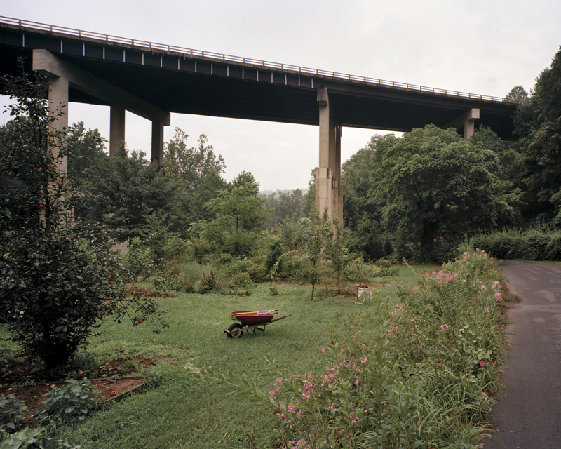
Garden, North Toe River, Spruce Pine, North Carolina, 2007
Crossing, Swannanoa River, Asheville, North Carolina, 2005
Azalea Park Pool The Swannanoa River Asheville, North Carolina, 2005
Little Limestone Creek, Limestone, Tennessee, 2007
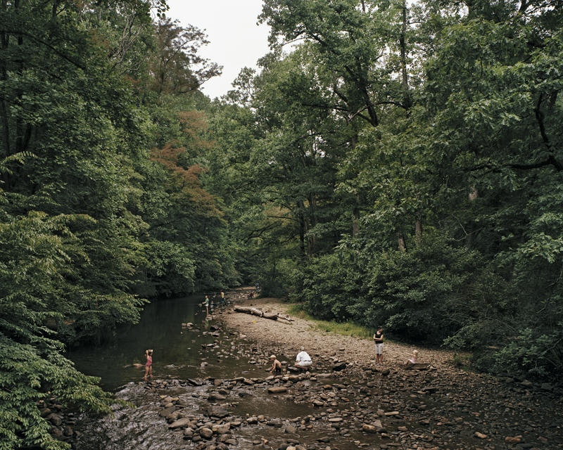
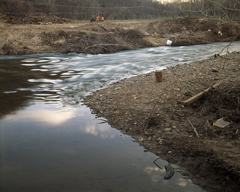
Hominy Creek, Asheville, North Carolina, 2006
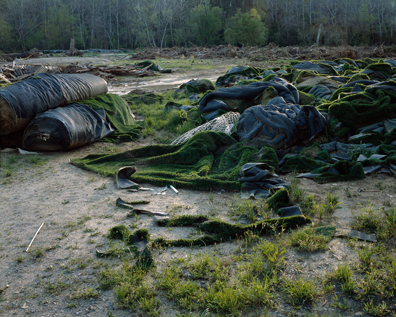
Turf Soccer Field After Flood, Asheville, North Carolina, 2005
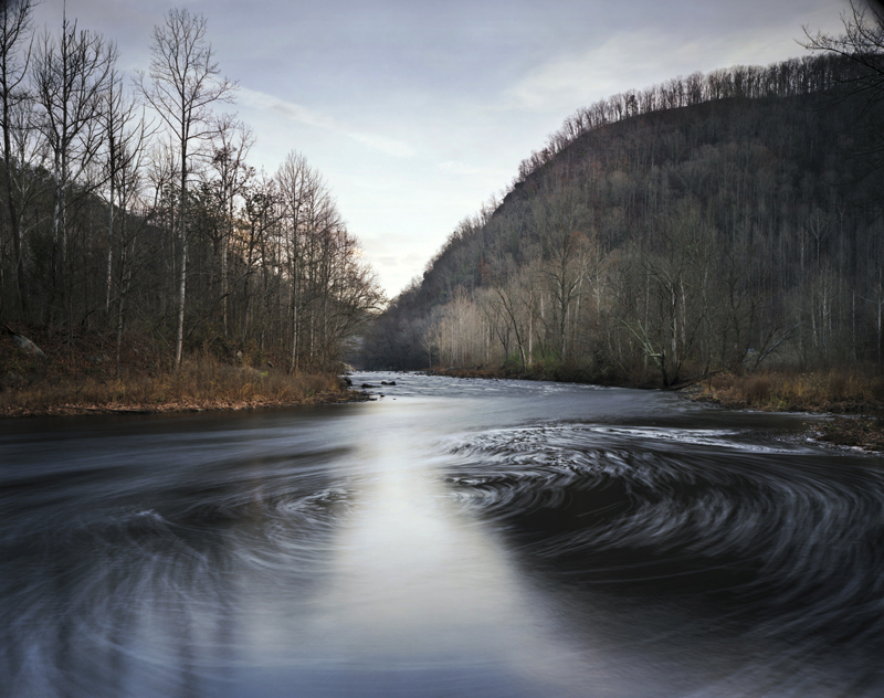
Toe River, North Carolina, 2007
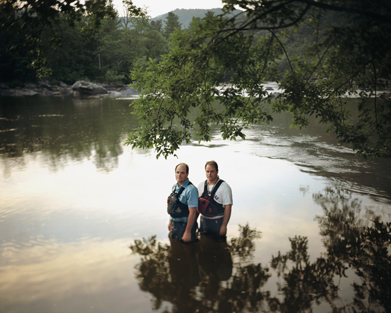
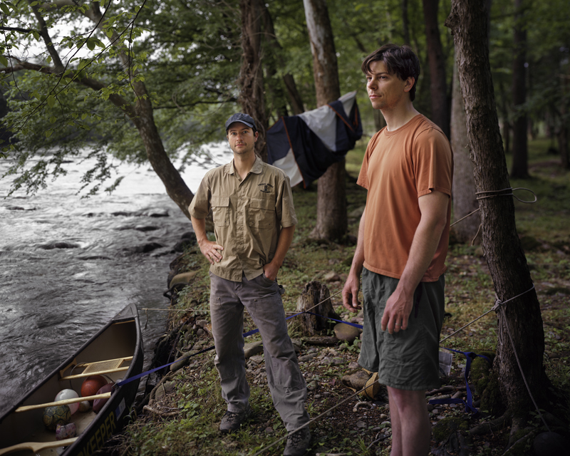
Mitch and Mike, The French Broad River, Stackhouse, North Carolina, 2007
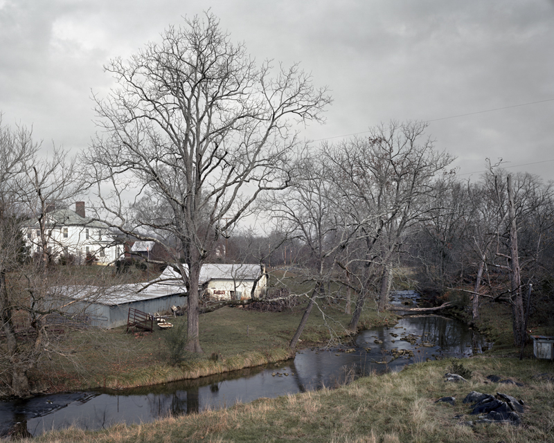
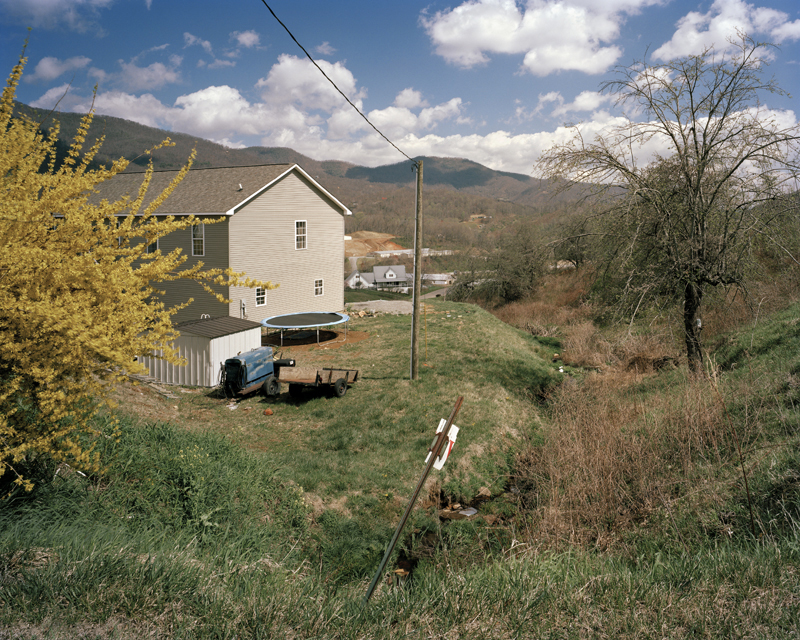
Brown family farm, North Fork of the Swannanoa River, Black Mountain, North Carolina, 2007
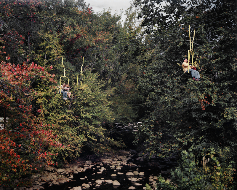
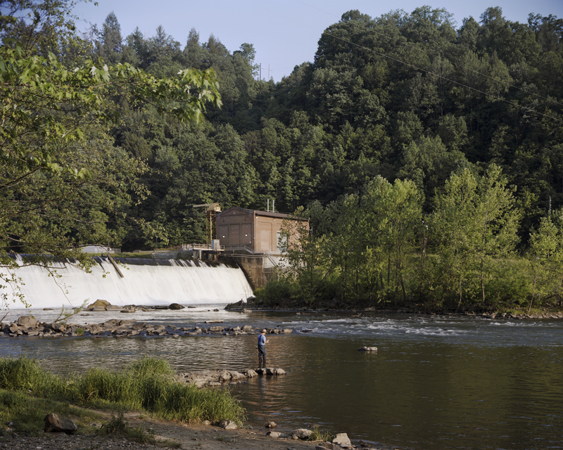
Ski Lift, Little Pigeon River, Gatlinburg, Tennessee, 2007
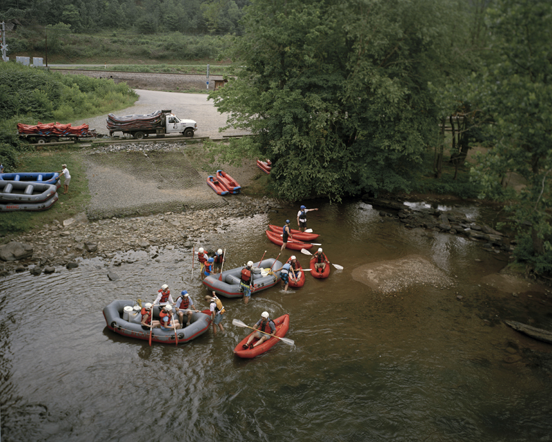
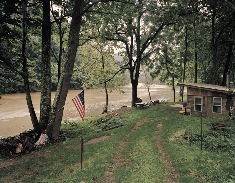
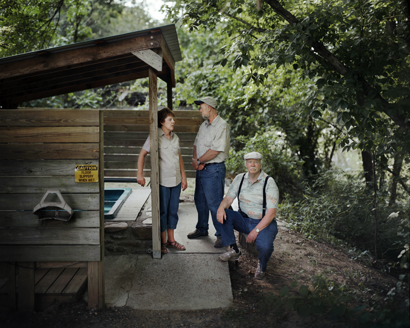
Gene, Ron and Sandy, Hot Springs Resort, French Broad River, Hot Springs, North Carolina, 2007
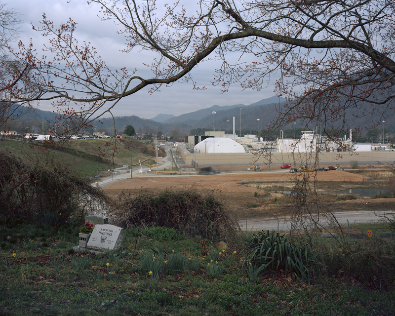
Barber Orchard Superfund Site, Waynesville, North Carolina, 2007
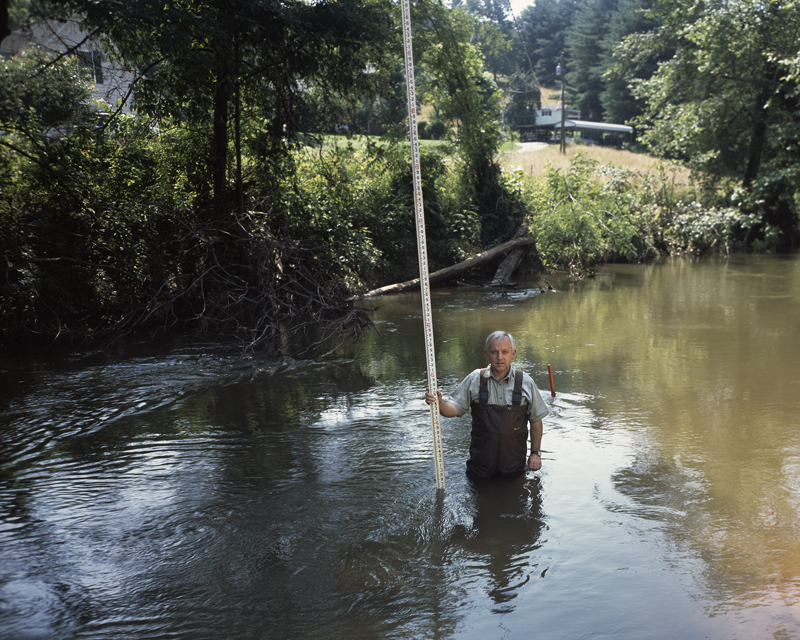
Gary Higgins, Buncombe Co. Soil and Water Conservation, Hominy Creek, Candler, North Carolina, 2005
Bank Reinforcement, The Swannanoa River, Swannanoa, North Carolina, 2006
Foam from upriver pollution, Pigeon River, Tennessee, 2007